
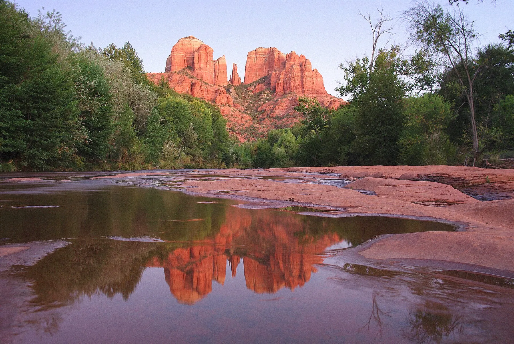
 Photo: Adam Baker from Houston / Moscow / Toulouse (travel a lot), CC BY 2.0
Sedona sits among red sandstone buttes about an hour south of Flagstaff, at the bottom of Oak Creek Canyon. For travellers based in Flagstaff or Williams for the Grand Canyon, it makes a full and varied day out: a canyon drive, a short hike to one of the famous rock formations, a chapel built into the cliffs and, in warm weather, a creek. This guide sets out the route, the passes and fees, how parking and the free trailhead shuttle work as of October 2026, and how the 2026 Pocket Fire has changed Oak Creek Canyon.
Fees, hours and shuttle times below come from the Coconino National Forest, Arizona State Parks, the City of Sedona and the other sources listed at the end, as of October 2026. They change by season: check before you go.
The short answer
- From Flagstaff: roughly 30 miles (about 50 km) south on SR-89A through Oak Creek Canyon. The Forest Service suggests allowing about an hour for the canyon drive.
- From Williams: add the drive east on I-40 to Flagstaff, roughly half an hour more each way.
- Passes: a Red Rock Pass ($5 a day, $15 a week) is needed to park at many trailheads, including Bell Rock. The America the Beautiful pass is accepted instead.
- Cathedral Rock: take the free Sedona Shuttle from a park-and-ride lot; trailhead parking is very limited.
- Pocket Fire: SR-89A through Oak Creek Canyon reopened on 13 July 2026 after the fire. Most trails and sites reopened on 17 September, but the West Fork area is still closed as of October 2026.
- Best days: Monday to Wednesday are quieter, but the trailhead shuttle runs only Thursday to Sunday outside peak periods.
Getting there: Oak Creek Canyon on SR-89A
From Flagstaff, SR-89A heads south through ponderosa pine forest to the rim of Oak Creek Canyon. At Oak Creek Vista, at the top of the canyon, there is a viewpoint over the gorge. Then the road drops down a series of tight switchbacks; the Forest Service warns that they are not for anyone who gets carsick easily. Below them, the road follows Oak Creek for about 15 miles (24 km) to Sedona, descending about 2,200 ft (670 m) in all. The road is paved and suitable for all vehicles.
Along the way are Slide Rock State Park, the Midgley Bridge viewpoint, and picnic areas and trailheads beside the creek.
For the return, many drivers take SR-179 south from Sedona to I-17 and then drive north on the interstate to Flagstaff. It avoids the switchbacks and the stop-start traffic in the canyon on busy afternoons. Driving down the canyon in the morning and back on the interstate makes a natural loop.
| From | Route | Distance | Time |
|---|---|---|---|
| Flagstaff | SR-89A south through Oak Creek Canyon | roughly 30 miles (about 50 km) | about 1 hour |
| Williams | I-40 east, then SR-89A | add the Williams–Flagstaff stretch | roughly 1.5 hours |
| Grand Canyon South Rim | via Flagstaff | 114 miles (184 km) | about 2 hours |
The South Rim figure is from Visit Sedona. The other times are rough estimates that assume no queues; at weekends and in holiday periods traffic around Sedona can add a good deal more. Check ADOT's 511 service for road works and closures.
The Pocket Fire and Oak Creek in 2026
The Pocket Fire started on 19 June 2026 about 7 miles (11 km) north of Sedona and burned about 27,400 acres (11,100 ha) before it was contained. SR-89A through Oak Creek Canyon was closed to all but residents for nearly a month and reopened in both directions on 13 July 2026.
As of October 2026:
- Most Oak Creek trails and recreation sites north of Sedona reopened on 17 September 2026.
- The West Fork area, one of the most popular trails in the canyon, remains closed; the Forest Service has extended the closure. Check the Coconino National Forest alerts before planning a visit.
- Flash floods after rain can carry ash and debris from the burn scar into the creek. Stay on open, marked trails.
Passes and fees
Sedona's red rock trailheads are on the Coconino National Forest, and many of them need a pass to park. The rules, as of October 2026:
| Pass | Price | Where it applies |
|---|---|---|
| Red Rock Pass, daily | $5 | 19 day-use sites on the Red Rock Ranger District, including Bell Rock (Courthouse Vista), Cathedral Rock and many other trailheads |
| Red Rock Pass, weekly | $15 | the same sites, for seven days |
| Red Rock Pass, annual | $20 | the same sites, for a year |
| America the Beautiful pass | already paid | accepted instead of a Red Rock Pass |
| Coconino Annual Pass | $50 | concession-run creek sites with their own fees: Crescent Moon Ranch, Grasshopper Point, Call of the Canyon (West Fork) and Beaver Creek |
| Slide Rock State Park | $20 per vehicle, October to April; $30, May to September | the state park; up to four people, $5 per extra person |
You can buy a Red Rock Pass at the fee machines at the trailheads, online at recreation.gov with your number plate, or at the Sedona Chamber of Commerce visitor centre in Uptown and the Red Rock Ranger Visitor Center on SR-179. A stop of about 15 minutes or less for a photograph does not need a pass. If you are carrying an America the Beautiful pass for the Grand Canyon, display it and you are covered at the Red Rock sites; see Grand Canyon entrance fees in 2026 for when that pass is worth buying.
The Sedona Shuttle
The City of Sedona runs a free trailhead shuttle from three park-and-ride lots (Posse Grounds, North SR-179 and West SR-89A) to the busiest trailheads: Cathedral Rock and Little Horse, Soldier Pass, and Dry Creek Vista and Mescal. As of October 2026 the trailhead routes run Thursday to Sunday, 7 am to 5:30 pm, all year, with daily service added in busy periods such as spring break and the Christmas holidays.
The Forest Service restricts parking at the Cathedral Rock and Soldier Pass trailheads while the shuttle operates, so on those days the shuttle is the way in. On Monday to Wednesday, when it does not run, the small trailhead lots fill early; arriving soon after sunrise gives the best chance of a space.
The city also runs Sedona Shuttle Connect, an on-demand service booked through an app, at $2 a ride, Thursday to Sunday from 6:30 am to 8:30 pm. It covers West Sedona, Uptown and the Chapel of the Holy Cross area.
What to see in a day
Cathedral Rock
The best-known formation in Sedona. The trail from Back O' Beyond Road is only about 1.2 miles (1.9 km) return but climbs about 700 ft (210 m), with scrambling on bare rock that needs your hands in places. It is steep, exposed to the sun and slippery when wet. Take the shuttle from the North SR-179 park-and-ride on shuttle days; the trailhead lots hold only about 45 cars.
Bell Rock
Bell Rock is the easiest of the big formations to reach. Park at Courthouse Vista, on the east side of SR-179 about 5.2 miles (8.4 km) south of the junction with SR-89A in Sedona (Red Rock Pass required). From there the Bell Rock Pathway and the Courthouse Butte Loop offer walks of any length, from a short stroll to the base to a longer loop around the butte.
Chapel of the Holy Cross
A Catholic chapel set into the red rock above SR-179, south of Uptown. It is open daily from 9 am to 5 pm, with the last car admitted at 4:30 pm, and is closed on some holidays. Visitors can sit in the chapel, and there is a gift shop below. Turn off SR-179 onto Chapel Road and follow it up to the car park; Shuttle Connect drops off and picks up at the nearby Mystic Trailhead.
Slide Rock State Park
A natural water slide in Oak Creek, on SR-89A in the canyon north of Sedona. As of October 2026 the park is open from 8 am to 6 pm, with last entry and the swim area closing at 5 pm; from 22 November it switches to 9 am to 5 pm. There are no reservations, and you may not queue on the road when the car park is full. After the Pocket Fire, the swim area was closed for much of the summer. When it reopened in mid-September, a flash flood washed ash into the creek within a day, and park officials asked visitors to stay out of the water. Check the park's page for the current advice before you plan to swim.
Uptown Sedona
The main street of Uptown, on SR-89A, is lined with shops, galleries and restaurants. Parking on Main Street is metered during the day, and the city lists free public car parks nearby on its website. Shuttle Connect also serves Uptown.
A plan for the day
- Leave Flagstaff early and stop at Oak Creek Vista.
- Drive down the canyon; on a warm day, stop at Slide Rock if swimming is advised.
- Park at a shuttle lot and hike Cathedral Rock, or walk the Bell Rock Pathway from Courthouse Vista.
- Visit the Chapel of the Holy Cross before 4:30 pm.
- Eat in Uptown and return to Flagstaff on I-17.
Spring and autumn are the most comfortable seasons for hiking. In summer, start early: the trails have little shade, and monsoon storms from July to mid-September can bring flash floods.
Where to stay
Sedona has its own resorts and hotels, but if the Grand Canyon is the centre of your trip, it is easier to visit Sedona as a day out from a canyon base. Flagstaff is the natural choice: it is the closest base to Sedona, at the top of Oak Creek Canyon, and about an hour and a half from the South Rim. Williams works too if you are also riding the Grand Canyon Railway, at the cost of a longer drive. Our comparison of Tusayan, Williams or Flagstaff looks at the trade-offs, and where to stay for the Grand Canyon and Route 66 covers all the areas. For other days out from the same bases, see Page, Antelope Canyon and Horseshoe Bend and our Route 66 road trip.
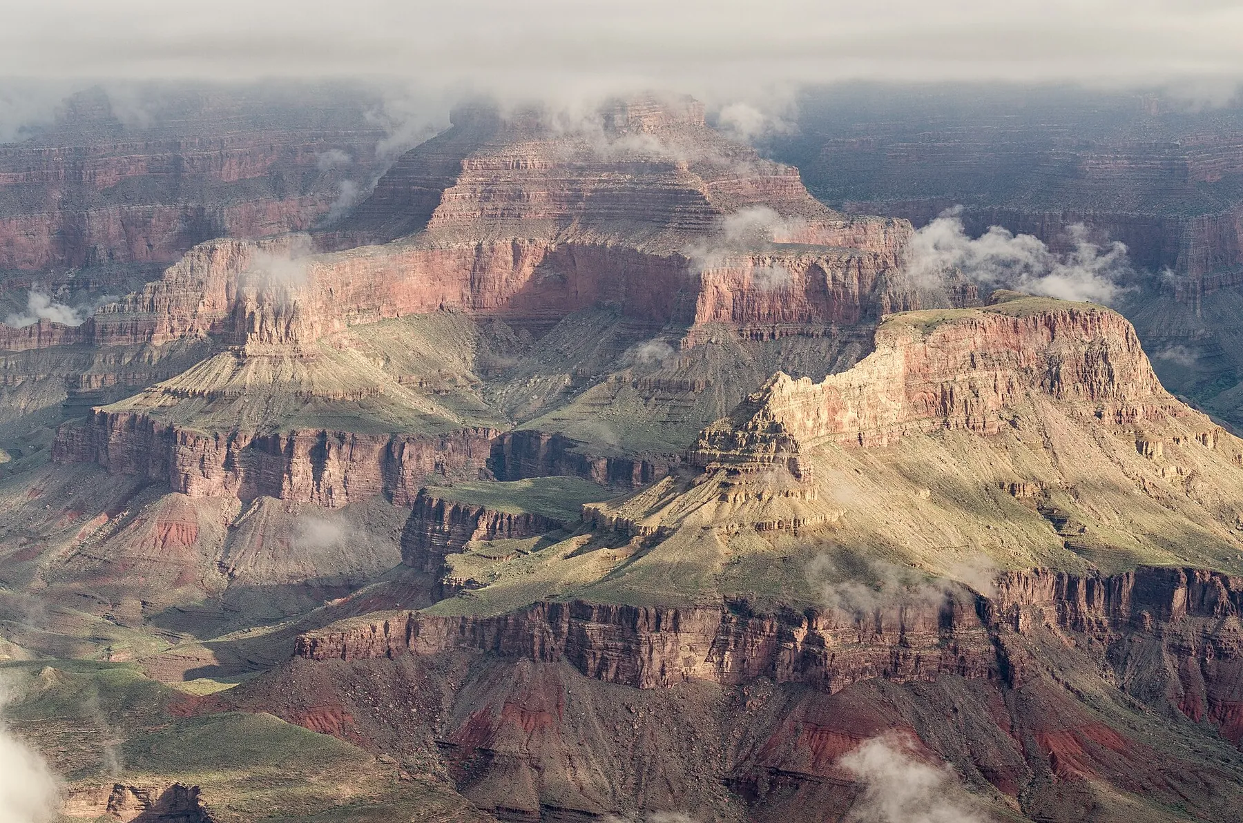 Photo: Tuxyso, CC BY-SA 3.0
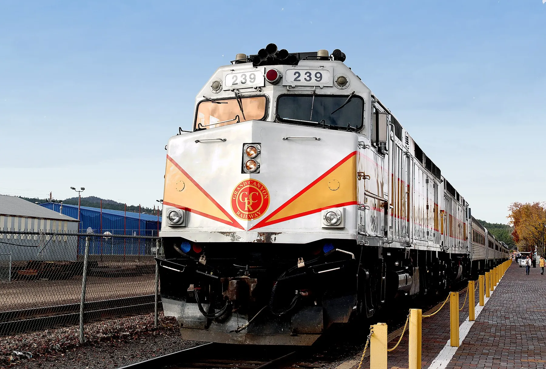 Photo: Bernard Spragg. NZ from Christchurch, New Zealand, CC0
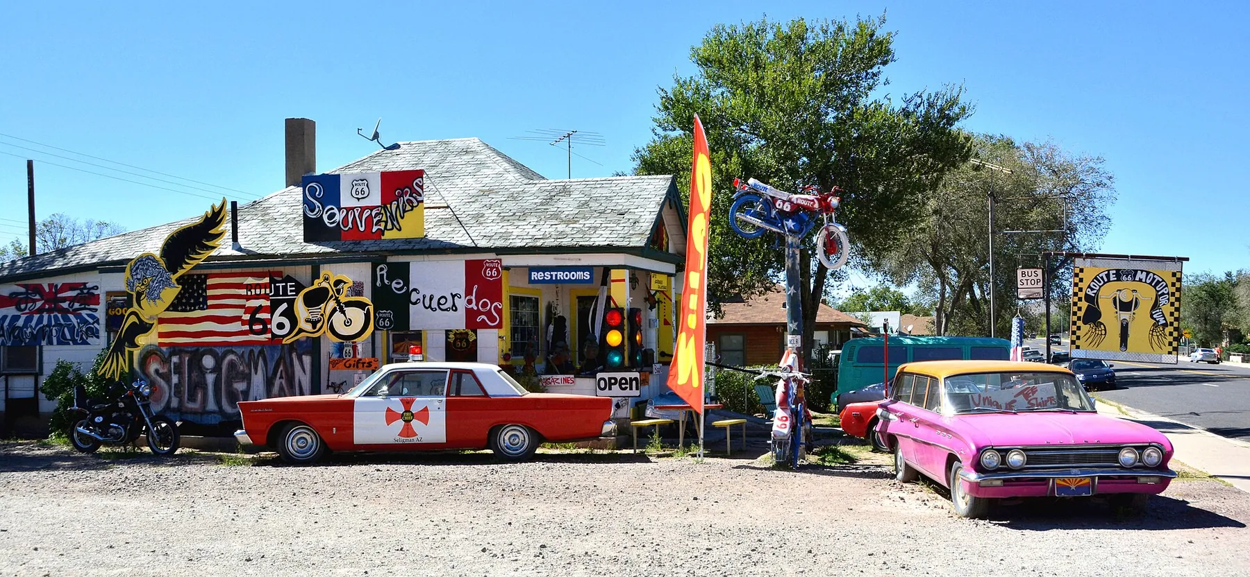 Photo: Mike McBey, CC BY 2.0